


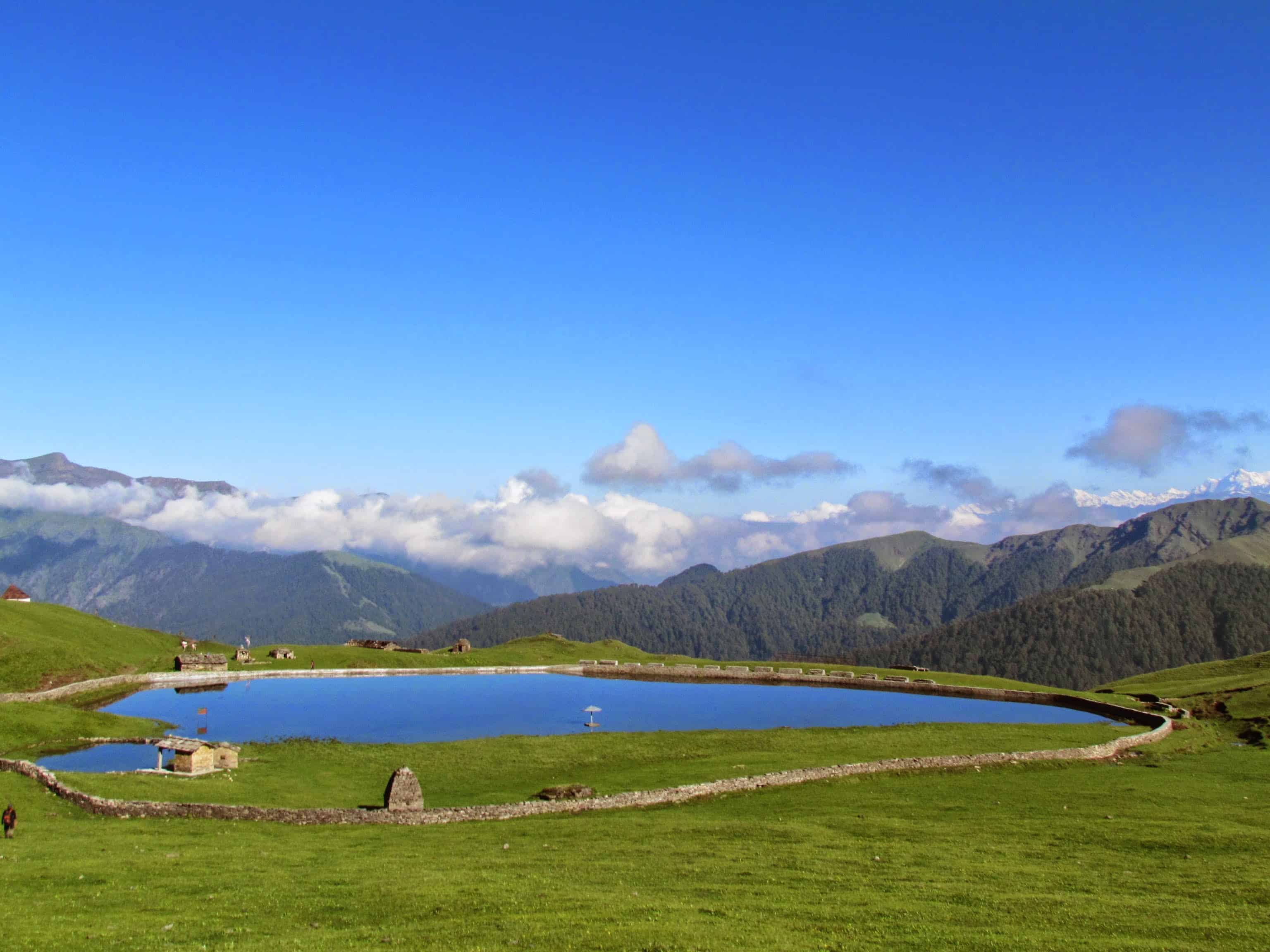
Every winter my inbox fills up with the same question in slightly different words. “I want to do a snow trek, I am a complete beginner, and I do not want to end up on something too hard. Where do I go?” For the last few seasons my answer has been the same. Brahmatal.
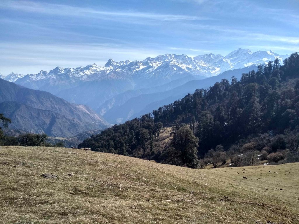
The Brahmatal trek takes you to a frozen alpine lake at 12,250 ft in the Chamoli district of Uttarakhand, with Trishul (7,120 m) and Nanda Ghunti (6,309 m) standing directly in front of you for most of the walk. It is short, graded easy to moderate, and holds snow reliably from late December through February. But there is a lot of loose information floating around about this trek, starting with how far it actually is from Rishikesh.
Let me be upfront about my own position. I have driven the approach road through Gwaldam and the Kumaon-Garhwal crossover many times, so the road section here comes from my own driving. The trek itself I have compiled from research, operator route data, and reports from DwD community members who have walked it recently. I will flag which is which as we go, because you are betting leave days and money on this information.
Quick Answer: What Is the Brahmatal Trek?
Brahmatal is a 5 to 6 day winter trek in Uttarakhand’s Chamoli district, starting and ending at Lohajung village. It covers roughly 22 to 29 km round trip and tops out at 12,250 ft. It is graded easy to moderate, a beginner-friendly trek that still delivers deep snow and close-up Trishul and Nanda Ghunti views.
| Summit altitude | 12,250 ft (approx 3,734 m) at Brahmatal Top |
| Trek distance | Approx 22 to 29 km round trip, varies by operator route |
| Duration | 5 to 6 days, Lohajung to Lohajung |
| Difficulty | Easy to Moderate |
| Base village | Lohajung, Chamoli district, Uttarakhand |
| From Rishikesh | 260 to 280 km, 9 to 11 hours by road |
| From Kathgodam | Approx 220 km, 8 to 10 hours by road |
| Best time | Mid-November to mid-March, peak snow December to February |
| Typical trek fee | Rs 8,000 to Rs 12,000 (Lohajung to Lohajung, operator dependent) |
| Peaks visible | Trishul, Nanda Ghunti, Chaukhamba |
| Last verified | October 2026 |
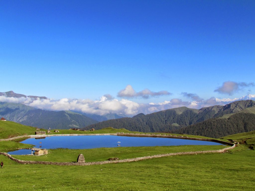
Is the Brahmatal Trek Actually “Near” Rishikesh?
Quick answer: No, not in the way most people assume. Lohajung, the base village, is 260 to 280 km from Rishikesh and takes 9 to 11 hours by road. Rishikesh is the standard gateway and operator pickup point, which is why it appears in every Brahmatal listing, but it is a full day of driving away.
I am starting here because it is the most common planning mistake on this trek. People read “winter trek near Rishikesh,” book a night bus from Delhi reaching Rishikesh at 6 am, and assume they will be at base camp by lunch. They will not. The drive runs through Devprayag, Rudraprayag, Karnaprayag, Tharali and Dewal, and it eats the entire day. Most groups leave Rishikesh around 5:30 am and reach Lohajung near dusk.
Hence, when counting leave days, add two full travel days on top of the trek. A 5-day trek is realistically an 8-day trip from Delhi. One week of leave still works comfortably, but this is not the weekend trip some listings imply.
Keep in mind that these are mountain roads in winter. Landslide clearance, fog in the lower Ganga valley, and slow traffic near the prayags can add two hours without warning. I suggest treating 11 hours as your planning number rather than 9.
How Do You Reach Lohajung, the Brahmatal Base Village?
Quick answer: Two main approaches. From Rishikesh it is 260 to 280 km via Devprayag, Rudraprayag, Karnaprayag, Tharali and Dewal, taking 9 to 11 hours. From Kathgodam it is roughly 220 km via Almora and Gwaldam, taking 8 to 10 hours. Most operators run a shared pickup from one of these two railheads.
Option 1: Via Rishikesh (Garhwal side)
This is the route most operators default to, because Rishikesh has the trekker volume and hostel infrastructure to stage a 5:30 am departure. You follow the Alaknanda up through the confluence towns. If you have done any Garhwal road trip, this will feel familiar up to Karnaprayag, where you turn off the Badrinath highway towards Tharali.
Option 2: Via Kathgodam (Kumaon side)
This is my preference and the one I have driven most often. From Kathgodam you climb through Almora and then Gwaldam, which sits on the Kumaon-Garhwal boundary and is one of the nicer places to break a journey in this part of the state. From there it is a short run down to Dewal and up to Lohajung.
Kathgodam also has better overnight train connectivity from Delhi. In case you are travelling independently rather than on operator transport, I suggest this side. Break the journey at Gwaldam for a night and reach Lohajung fresh, rather than arriving wrecked after 11 hours.
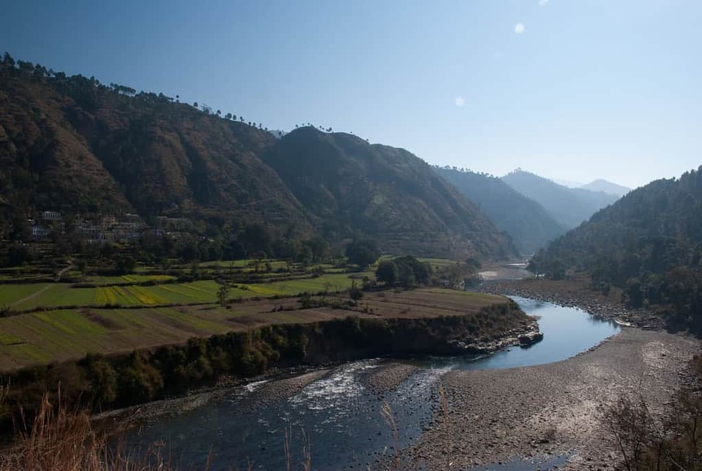
Travelling independently by bus
It is possible to reach Lohajung on public transport, but be realistic. You are looking at a bus or shared vehicle to Karnaprayag or Gwaldam, then shared jeeps towards Dewal and Lohajung, with the last legs on local timings that thin out sharply in winter afternoons. I am not going to quote exact fares and departure times, because these winter schedules change and I have not verified them this season. Ask at the stand a day ahead and plan to move early.
What Is the Day-by-Day Brahmatal Trek Itinerary?
Quick answer: A standard Brahmatal itinerary runs 6 days including road transfers. Day 1 is the drive to Lohajung, days 2 to 5 are the trek with camps at Bekaltal and Tilandi or Brahmatal, and day 6 is the drive back out. Summit day covers Brahmatal Top at 12,250 ft.
Route details vary between operators, which is why you will see the total distance quoted anywhere between 22 km and 29 km. Some route via Tilandi, some do the summit as an out-and-back. The version below is the most commonly run shape.


| Day | Section | Approx altitude | Notes |
|---|---|---|---|
| 1 | Rishikesh or Kathgodam to Lohajung | Approx 7,600 ft | Full driving day, 8 to 11 hours |
| 2 | Lohajung to Bekaltal | Approx 9,200 ft | Oak and rhododendron forest, gradual climb |
| 3 | Bekaltal to Tilandi | Approx 10,500 ft | Short day, treeline opens up |
| 4 | Tilandi to Brahmatal via Brahmatal Top | 12,250 ft summit | Summit day, 5 to 6 hours |
| 5 | Brahmatal to Lohajung | Approx 7,600 ft | Long descent |
| 6 | Lohajung to Rishikesh or Kathgodam | Exit | Full driving day |
The walking days are short by Himalayan standards. Day 3 is often under 3 km, which sounds trivial until you remember you are gaining altitude in snow with a pack on. That short day is doing real acclimatisation work, so do not let anyone talk you into compressing the itinerary into four days to save leave. The extra day is why this trek has a good safety record with beginners.
Bekaltal, the lower lake, sits inside forest and is the more atmospheric of the two by most accounts from community members. Brahmatal is higher and more exposed. In deep winter both freeze over.
When Is the Best Time to Do the Brahmatal Trek?
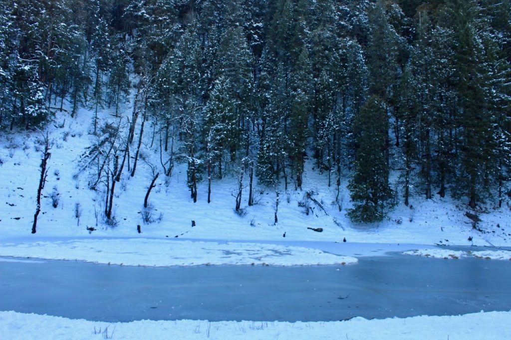
Quick answer: Mid-November to mid-March is the season. For guaranteed deep snow and frozen lakes, go between late December and mid-February. Late March and early November give you clearer mountain views and easier walking but far less snow.
People do this trek for the snow, so timing is really about how much of it you want to deal with.
- Mid-November to mid-December: Early season. First snow arrives, trails are still easy, crowds are thinner. Good if you want the trek more than the snow.
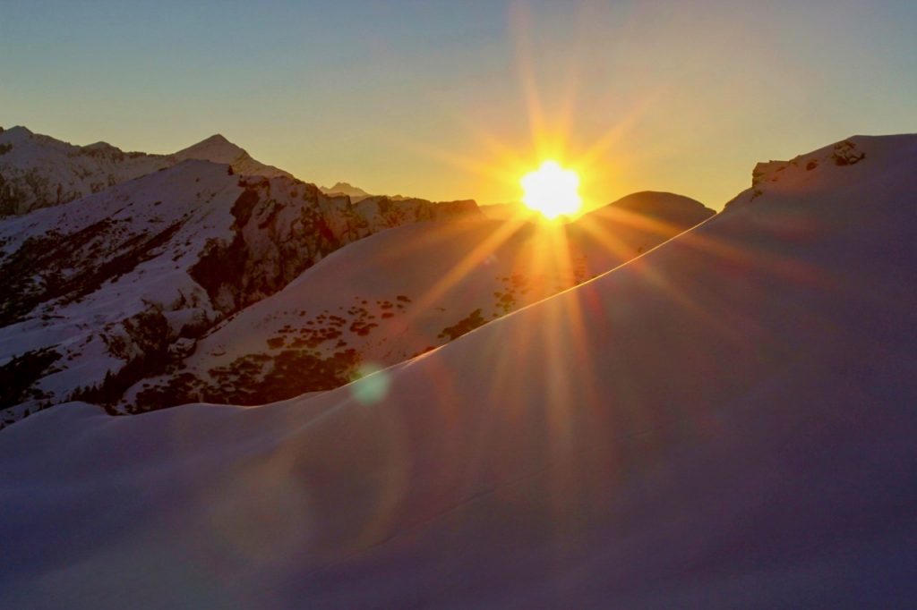
- Late December to mid-February: Peak season and peak snow. The lakes freeze, the ridge walk is genuinely a snow walk, and this is when the photographs you have seen were taken. Also the coldest and the most crowded, especially around New Year.
- Late February to mid-March: Snow is still there but consolidating and starting to melt at lower altitudes. Days get longer and warmer. A good compromise window.
On temperatures I want to be careful rather than confident. Typical reports from this altitude in mid-winter put daytime in the mid-single-digits Celsius and nights well below freezing, dropping further in January. I have not measured these myself and they swing with weather systems, so treat them as indicative. Check the India Meteorological Department forecast for Chamoli district the week before you leave, and pack for colder than forecast.
One scheduling note. The last week of December is the busiest week of the entire Uttarakhand winter trekking season. In case you want the ridge to yourself, go mid-January instead. The snow is better then anyway.
How Difficult Is the Brahmatal Trek for a First-Timer?
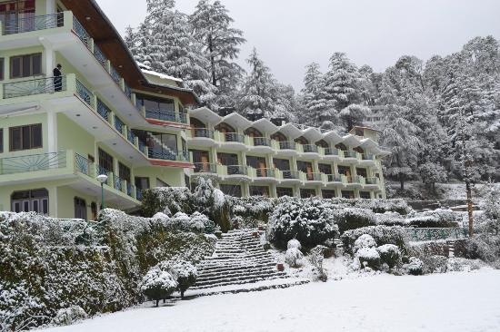
Quick answer: Brahmatal is graded easy to moderate and is suitable for fit first-timers. The distances are short and the gradient is forgiving. The genuine difficulty is not the climbing, it is walking on snow in sub-zero cold at 12,000 ft, which is a different skill from walking uphill.
I want to push back gently on the way this trek gets marketed as “easy.” It is easy relative to other Himalayan treks, which is not the same as easy in absolute terms. The gap between those two is where people get into trouble.
What makes it manageable is the profile. You gain altitude in small steps with a genuinely short day built in, the 12,250 ft maximum is below the range where serious AMS becomes common, and you are never far from the base village. What makes it harder than the grade suggests is snow underfoot. A 6 km day on packed snow in microspikes can feel like a 12 km day on dry trail.
My fitness benchmark, the same one I give for any beginner Himalayan trek: if you can jog 5 km in about 40 minutes without stopping, or climb 8 to 10 floors of stairs without your legs giving up, you are ready. Start at least six weeks out. Our beginner’s guide to trekking in the Himalayas covers the groundwork.
How Does the 2026 Bugyal Camping Verdict Change Brahmatal?
Quick answer: Reports indicate the Supreme Court set aside the 2018 Uttarakhand High Court ban on overnight camping in high-altitude bugyals on 20 July 2026. Brahmatal was largely unaffected by that ban in the first place, because its campsites sit at or below treeline rather than on open meadows. That is precisely why it thrived while Roopkund sat closed for eight years.
This explains why Brahmatal went from obscure to one of the most booked winter treks in the country in under a decade.
In August 2018, the Uttarakhand High Court banned overnight camping across all the state’s high-altitude bugyals. That order effectively killed the Roopkund trek, which depends on Bedni Bugyal as an acclimatisation camp with no viable way to run the route without it. We covered the fallout at the time in our post on the bugyal camping ban.
Brahmatal, starting from the same base village, absorbed most of that displaced demand. Its camps at Bekaltal and Tilandi sit in forest and treeline zones, so it kept running while its more famous neighbour did not. Hence, if you have wondered why this trek exploded in popularity, that is the reason, and it is a more interesting answer than “it got Instagram famous.”
Now the caveat, and please take this one seriously. Multiple trekking operators report that the Supreme Court set aside the ban on 20 July 2026, and Indiahikes has published an explainer on the Roopkund reopening. As per those reports, only three of the 2018 High Court directions were struck down, including the overnight camping ban and the visitor cap. The other 2018 rules reportedly still stand, so permits and registered operators remain mandatory. I have not seen the judgment text itself, so I am presenting this as widely reported rather than settled fact. Before booking anything that depends on camping in an alpine meadow, confirm the position with your operator and the forest office. For Brahmatal this changes little, since it was never the trek the ban was blocking.
What Does the Brahmatal Trek Cost in 2026?
Quick answer: Operator trek fees run about Rs 8,000 to Rs 12,000 for the Lohajung to Lohajung portion. Add transport, travel to the railhead, and gear rental, and a realistic all-in budget from Delhi is roughly Rs 14,000 to Rs 24,500 per person depending on how you travel.
| Cost head | Budget | Comfortable | Notes |
|---|---|---|---|
| Operator trek fee (Lohajung to Lohajung) | Rs 8,000 | Rs 12,000 | Includes camping, meals, guide, safety equipment |
| Transport, railhead to Lohajung return | Rs 2,500 | Rs 4,000 | Usually a shared vehicle add-on, charged separately |
| Delhi to railhead return | Rs 1,200 | Rs 3,500 | Sleeper train or bus at the low end, AC or Volvo at the high end |
| Gear rental (jacket, spikes, gaiters, poles) | Rs 1,000 | Rs 2,500 | Skip entirely if you own your kit |
| Offloading backpack (optional) | Rs 0 | Rs 1,500 | Charged per day by most operators |
| Buffer, meals in transit, tips | Rs 1,300 | Rs 1,000 | Roadside meals on two long driving days |
| Total per person | Rs 14,000 | Rs 24,500 | Excludes personal gear purchases |
Two honest notes. The trek fee range reflects operator listings I checked in October 2026 (most clustered between Rs 8,000 and Rs 12,000 for a 5 night, 6 day Lohajung departure). Fees move between seasons and between operators, so confirm directly. An earlier version of this guide quoted Rs 5,000 to Rs 7,500, which I could no longer find on current listings, hence the update. Also, the transport add-on catches people out, because listings advertise the trek fee prominently and bury transport in the fine print. Always ask whether a quote is Lohajung to Lohajung or railhead to railhead.
On permits, I could not find a verified official fee for the forest or trail entry permit on this route. In practice your operator arranges it and folds it into the trek fee. In case you are trekking independently, ask at the forest check post at Dewal or Lohajung rather than relying on any number you read online, including mine. The Uttarakhand Tourism Development Board is the right place to check for any state-level advisory in force.
Brahmatal or Kedarkantha: Which Winter Trek Should You Pick?
Quick answer: Pick Kedarkantha if you want the shorter, cheaper, more social trek with a classic summit push. Pick Brahmatal if you want a frozen lake, a longer ridge walk, better big-mountain views, and noticeably fewer people on the trail.
These two are the obvious head-to-head in Uttarakhand winter trekking, and readers ask me to compare them constantly. Here is how they differ.

| Brahmatal | Kedarkantha | |
|---|---|---|
| Summit altitude | 12,250 ft | 12,500 ft |
| Duration | 5 to 6 days | 4 to 5 days |
| Base village | Lohajung (Chamoli) | Sankri (Uttarkashi) |
| Crowd level | Moderate | Very high in peak season |
| Signature feature | Frozen alpine lakes, long ridge walk | Classic summit cone, sunrise views |
| Big peak views | Trishul and Nanda Ghunti, very close | Swargarohini range, more distant |
| Best for | Second trek, or a first-timer wanting fewer people | Absolute first trek, groups, tighter budgets |
My recommendation, and I will be direct rather than diplomatic. If this is your first-ever Himalayan trek and you are nervous, do Kedarkantha. It is a day shorter, cheaper, and the sheer number of people on it is oddly reassuring when you are new to this.
If you have done any multi-day trek before, or if crowds are the thing that would ruin it for you, do Brahmatal. The Trishul and Nanda Ghunti views from the ridge are in a different league, and the ridge walk itself is the better piece of trail. Both are covered alongside other options in our roundup of easy winter treks in Uttarakhand and Himachal. If a winter trek is not on your list this year, my guide to Lansdowne is a quieter, no-trekking Uttarakhand option.
What Should You Pack for a Winter Trek at 12,250 Feet?
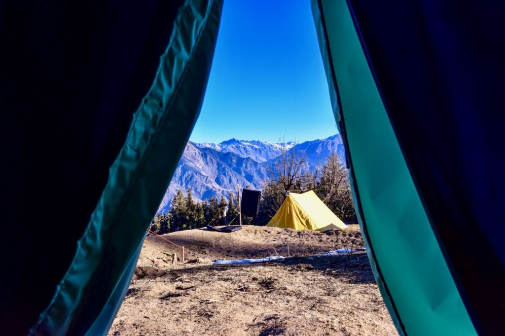
Quick answer: Layering is everything. You need a waterproof insulated outer layer, two warm mid-layers, thermals, waterproof trekking shoes with ankle support, microspikes, gaiters, sun protection, and a headlamp. Cotton anywhere in the system is the classic beginner mistake.
- Footwear: Waterproof, high-ankle trekking shoes with real grip. Never compromise here. Our guide to trekking shoes under Rs 5,000 covers budget options.
- Outer layer: A padded or down jacket that is genuinely windproof. See our winter jackets under Rs 5,000 picks if buying rather than renting.
- Mid-layers: Two fleece or woollen layers, so you can shed one walking and add it back at camp.
- Thermals: One good set, top and bottom. Merino if you can afford it, synthetic otherwise. Never cotton.
- Traction: Microspikes or crampons. Usually operator-provided, but confirm in writing.
- Gaiters: To keep snow out of your boots. Miserable without them.
- Hands and head: Waterproof gloves plus a thin inner pair, woollen cap, balaclava or buff.
- Sun protection: UV sunglasses and high-SPF sunscreen. Snow glare at altitude is severe and badly underestimated.
- Other: Headlamp with spare batteries, 2 litre water capacity, personal medication, power bank. Cold flattens phone batteries fast.
Safety, AMS, and What Can Actually Go Wrong
Quick answer: At 12,250 ft, severe AMS is uncommon but mild symptoms are not. The bigger practical risks on Brahmatal are cold injury, slips on frozen sections, and weather turning during the summit push. Descending is always the correct response to worsening symptoms.
Brahmatal’s maximum altitude sits below the range where AMS becomes routine, which is part of why it works for beginners. That said, “uncommon” is not “impossible,” and I have seen enough people caught out at moderate altitude to say this clearly. Headache, nausea, breathlessness at rest, and inability to sleep are the early signs. Tell your guide immediately rather than pushing through quietly to avoid slowing the group. Nobody will think less of you, my friend, and the alternative is genuinely dangerous.
The risks I would actually worry about here are more mundane:
- Cold injury. Wet feet or gloves at sub-zero temperatures escalate quickly. Carry spare socks, kept dry in a plastic bag.
- Slips. Packed snow and ice on the descent cause most minor injuries. Use spikes and poles, and do not rush down because you are tired.
- Weather on summit day. Ridge visibility drops fast. If your guide calls off the summit push, that is professional judgement, not an inconvenience. Please take a sensible call for yourself and the people waiting for your safe return.
- Network. Coverage is patchy to absent past Lohajung. Tell someone at home your itinerary and return date before you lose signal.
One last point on operators. Ask what medical equipment they carry, whether the guide holds a wilderness first aid certification, and what the evacuation plan is. A serious operator answers immediately. Anyone vague about it is telling you something important.
Related Reading from the DwD Archives
- Kedarkantha Trek 2026 Complete Guide
- Roopkund Trek Guide, sharing Lohajung as its base
- The Uttarakhand Bugyal Camping Ban
- Gwaldam Travel Guide, for the Kumaon approach
- Kuari Pass Trek 2026 Guide, another moderate winter trek in Chamoli
- Auli Travel Guide, skiing in the same district
- Trekking in the Himalayas for Beginners
- Tungnath and Chandrashila, a shorter Garhwal option
Frequently Asked Questions About the Brahmatal Trek
What is the altitude of the Brahmatal trek?
Brahmatal Top, the highest point, is at 12,250 ft, roughly 3,734 metres. The Brahmatal lake camp sits a little lower at around 10,190 ft, and the base village of Lohajung is at approximately 7,600 ft.
Is Brahmatal suitable for beginners?
Yes. It is graded easy to moderate and is among the more beginner-friendly winter treks in Uttarakhand. Daily distances are short and the itinerary includes a deliberately easy acclimatisation day. You still need baseline cardiovascular fitness, and snow underfoot is more tiring than the distances suggest.
How many days does the Brahmatal trek take?
Five to six days from Lohajung back to Lohajung. Including the road journey from Rishikesh or Kathgodam in both directions, budget six days minimum, and about eight days total if you are travelling from Delhi.
How far is Brahmatal from Rishikesh?
Lohajung is 260 to 280 km from Rishikesh, 9 to 11 hours by road via Devprayag, Rudraprayag, Karnaprayag and Dewal. Despite how it is marketed, this is not a short hop, it is a full day of driving.
What is the best month for the Brahmatal trek?
January is the best single month for deep snow and frozen lakes. The overall season runs mid-November to mid-March. If you want snow but smaller crowds, mid-January is better than the last week of December, which is the busiest week of the season.
How much does the Brahmatal trek cost?
Operator trek fees are typically Rs 8,000 to Rs 12,000 for the Lohajung to Lohajung portion. A realistic all-in budget from Delhi, including transport and gear rental, is roughly Rs 14,000 to Rs 24,500 per person. Confirm whether a quoted price includes transport from the railhead.
Which peaks are visible from Brahmatal?
Trishul and Nanda Ghunti dominate the view and sit unusually close to the ridge. Chaukhamba is visible on clear days. This proximity is Brahmatal’s main advantage over other beginner winter treks.
Do you need a permit for the Brahmatal trek?
A forest or trail entry permit applies, and registered operators arrange it as part of the trek fee. I was not able to verify an official current fee figure, so independent trekkers should confirm directly at the forest check post at Dewal or Lohajung rather than relying on figures quoted online.
Is Brahmatal better than Kedarkantha?
Neither is objectively better. Kedarkantha is shorter, cheaper and busier, making it the safer first trek. Brahmatal is a day longer with a frozen lake, a better ridge walk and much closer Trishul and Nanda Ghunti views, making it the pick if you have trekked before or dislike crowds.
Can you do the Brahmatal trek without a guide?
Technically the route is not complex, but I would not recommend it in winter. Snow cover erases the trail, navigation on the ridge in poor visibility is genuinely difficult, and you would be carrying your own winter camping setup. The cost saving is small relative to the risk.
Final Thoughts
Brahmatal has earned its reputation, and for once the popularity is not just marketing. A 12,250 ft top that a reasonably fit first-timer can reach, two frozen lakes, and Trishul sitting right in front of you is a rare combination in Indian winter trekking. That it quietly kept running through eight years when its famous neighbour could not is the more interesting part of the story.
My recommendation stands. First-ever trek and feeling nervous, go to Kedarkantha. Anything beyond that, come to Brahmatal, and go in mid-January rather than over New Year. Book the six-day itinerary rather than a compressed version, take the Kathgodam approach if travelling independently, and confirm whether your quoted price includes transport from the railhead.
As always, verify the current position on permits and bugyal camping before you book, because that picture has been moving through 2026. In case you are looking for people to trek with, or want to compare notes with someone who walked this route recently, do check the DwD Community and the DoW Travel Calendar from the main menu. That is the fastest way to get information from this season rather than last.
Last updated: October 2026. Trek fees, permit rules, and road conditions change between seasons. Please confirm current details before you travel.
If you have any questions, feel free to ask in the comments section below 🙂
