


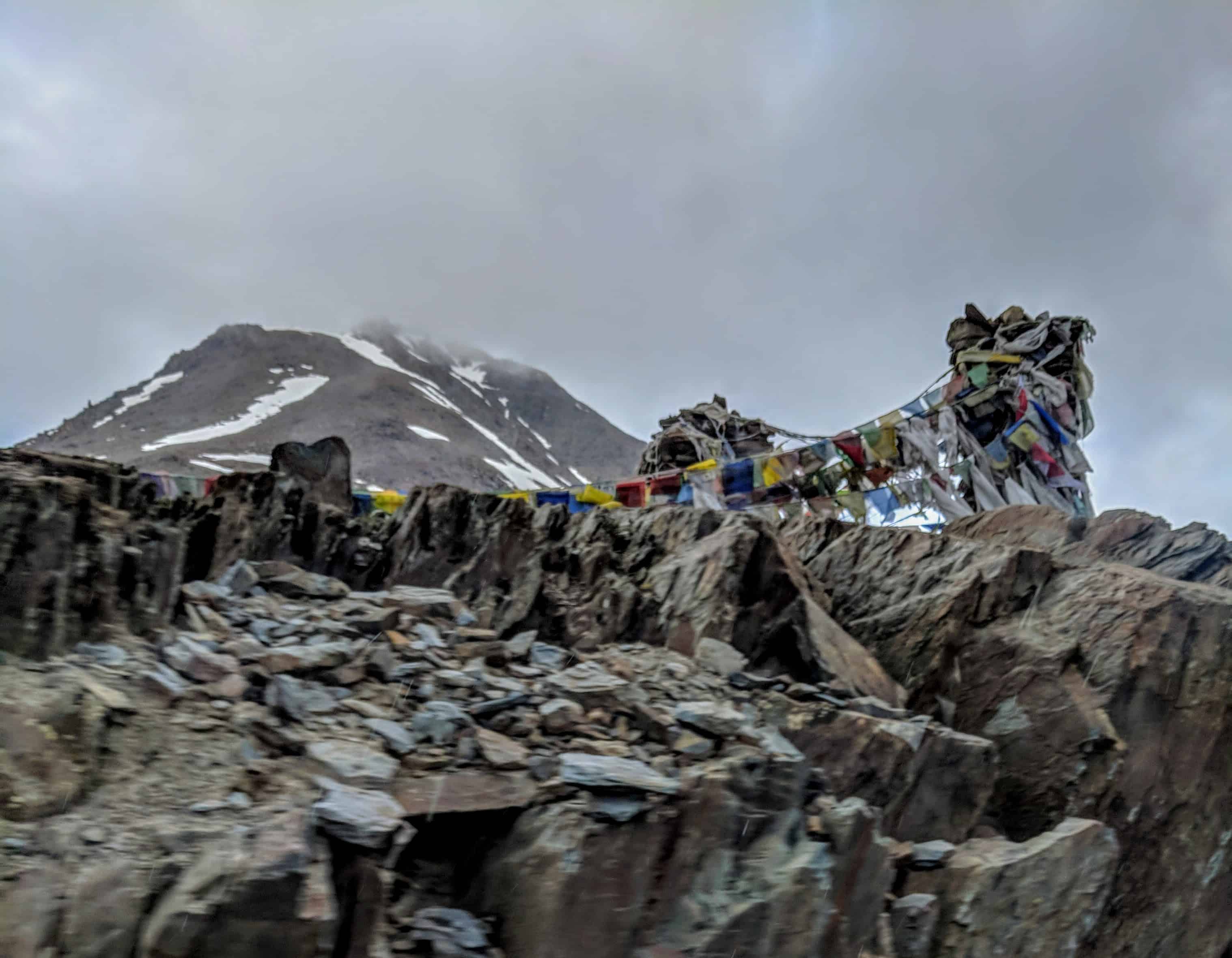
Current Status (October 2, 2026): Baralacha La has stayed OPEN through September 2026 with normal two-way traffic, and as of today I have not seen any BRO closure order for this season. But keep in mind, October is the closing window. A single spell of snow can shut the Darcha to Sarchu stretch overnight, so check the status on the morning you leave. Last updated: October 2, 2026.
Every year, the questions in my inbox about this pass change with the season. In April and May it is “Dheeraj, has Baralacha La opened?” By late September it becomes “Is it still open? Will we make it across in October?” I have been watching the Baralacha La road status for well over a decade now, and I understand both kinds of anxiety completely. Baralacha La is not just another mountain crossing. It is the pass that separates the world you know from the high cold desert that lies beyond. Once you cross it, Ladakh begins in earnest.
In this guide, I have put together everything you need for the rest of the 2026 season: the current road status, a dated log of how this season has gone since BRO reopened the highway in May, when the pass usually closes for winter, whether an October crossing makes sense, the permits and e-pass your vehicle needs, and what to expect at 16,040 Ft above sea level. Whether you are on a Royal Enfield, in an SUV, or already planning for the 2027 opening, keep reading.
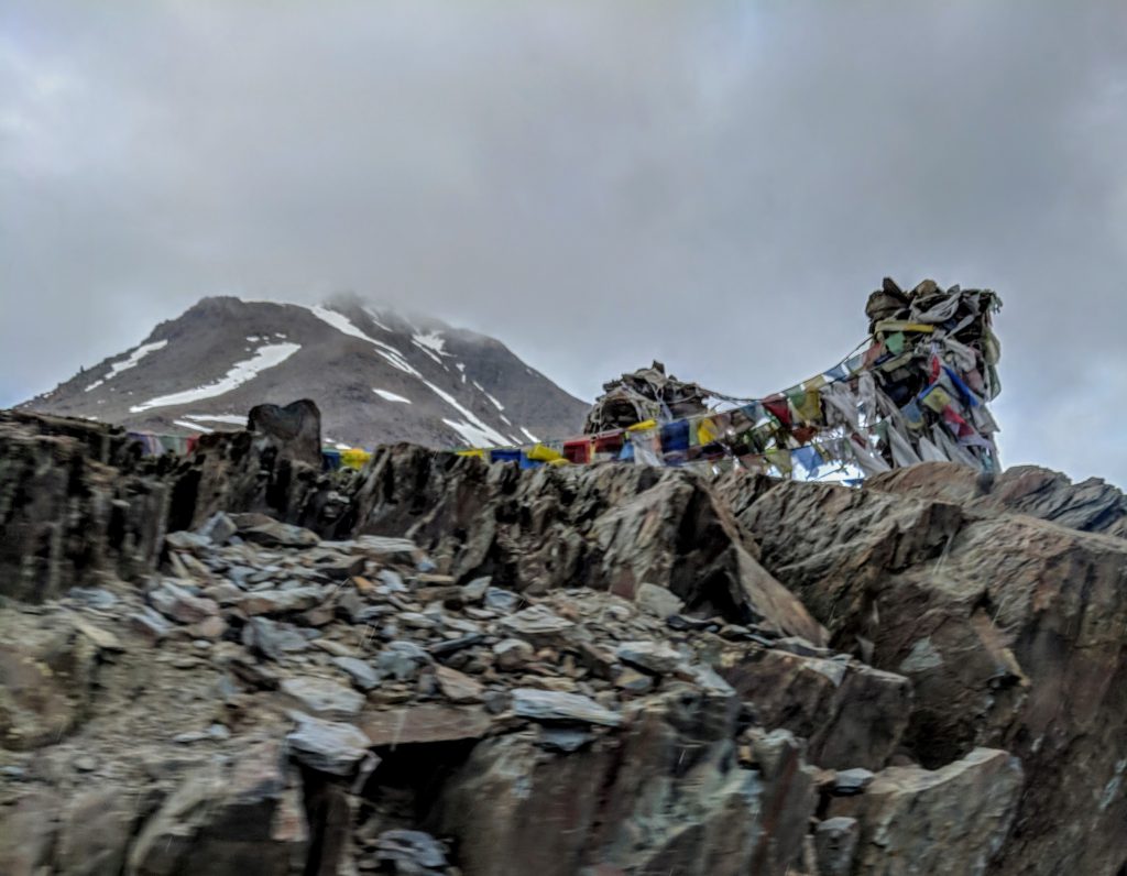
Is Baralacha La Open Right Now? Road Status for October 2026
Quick answer: Yes, as far as all reports up to October 2, 2026 go. Baralacha La has been open with two-way traffic since the one-way June arrangement ended, and no BRO closure order has been announced. Early October crossings are usually possible in clear weather. From mid-October onwards, fresh snow can close the Darcha to Sarchu stretch for a day or more without warning.
Let me be honest about what “open” means at this time of year. It means the road is not officially shut. It does not mean the road is guaranteed for your travel date. In October, the pass behaves very differently from June. The snow walls are long gone and the nallahs at Zingzingbar have shrunk to a trickle, but mornings bring black ice on the shaded bends and every western disturbance that reaches Himachal now drops snow, not rain, at 16,000 Ft.
One more thing you should know. The official Lahaul and Spiti district road status page still lists “Keylong to Leh: Open”, but when I checked it on October 2, 2026, its footer said it was last updated on May 14, 2024. Hence, please do not treat that page as a live feed. Your best real-time sources are the Darcha checkpost, your guesthouse in Jispa or Keylong, and the Lahaul-Spiti police updates. I also keep my Manali Leh Highway Status 2026 post updated through the season.
[quick-info-box]
Baralacha La: Quick Reference
Altitude: 4,890 m (16,040 Ft)
Highway: Manali – Leh Highway (NH-3)
Location: Between Darcha/Zingzingbar and Sarchu, Lahaul and Spiti district
Distance from Manali: approx. 145 km via the Atal Tunnel (about 190 km on the old Rohtang route)
Distance from Keylong: approx. 73 km
BRO Project: Deepak (Manali side clearance), Himank (Ladakh side)
2026 opening: BRO reconnected the highway on May 12, 2026
2026 Status: OPEN, no closure order as of October 2, 2026
Last season’s closure: November 20, 2025 (official, all vehicles)
Practical season: mid-May to mid-October
Last fuel: Tandi, about 8 to 10 km before Keylong
Vehicle e-pass: e-Aagman registration (free) mandatory for Lahaul-Spiti
Last Updated: October 2, 2026
[/quick-info-box]
Baralacha La Road Status Log: 2026 Season Updates (Newest First)
Quick answer: The 2026 season ran normally. BRO reconnected the highway on May 12, one-way traffic operated between Darcha and Sarchu in early June, a flash flood near Jispa on June 30 was cleared the same day, and by September the road was running two-way. No closure has been announced as of October 2.
- As of October 2, 2026: OPEN. I have not found any BRO or district closure order for the season. This is now the window when early snow typically arrives, so treat every day after mid-October as uncertain. Most Sarchu tented camps are seasonal and wind up as September ends, so do not plan an October night at Sarchu without calling ahead.
- As of early September 2026: OPEN with two-way traffic on all sections. The June one-way arrangement was no longer in force, and monsoon activity on the Manali side had eased.
- July 22, 2026: A flash flood alert covering nine Himachal districts, including Lahaul and Spiti, was issued during the monsoon. The pass itself stayed open, but the approach roads on the Manali side saw intermittent disruptions through July and August.
- June 30, 2026: A flash flood briefly shut the highway near Jispa. BRO cleared the debris and traffic was restored the same day.
- June 11, 2026 (when I first published this guide): OPEN for four-wheelers and SUVs with one-way traffic between Darcha and Sarchu. Vehicles toward Leh moved on odd dates from 7 AM to 11 AM and vehicles toward Manali on even dates. Bikers were waiting a few more days for clearance near the pass.
- May 12, 2026: BRO reconnected the Manali – Leh Highway after a snow clearance operation of roughly 42 days, earlier than the usual late May or early June window.
- March 2026: BRO began snow clearance from the Keylong side toward Baralacha La.
- November 20, 2025: The previous season ended with the highway officially closed to all vehicles after icing advisories near Zingzingbar and Baralacha La.
What is Baralacha La? Geography and Significance
Quick answer: Baralacha La is a 4,890 m (16,040 Ft) pass in the Zanskar range of Himachal Pradesh, about 73 km beyond Keylong on the Manali – Leh Highway. Its name means “pass with crossroads on the summit”, and it is the source region of the Chandra, Bhaga, and Yunam rivers.
Baralacha La sits at 4,890 m (16,040 Ft) in the Zanskar range of Himachal Pradesh. The name itself is Tibetan: “Bara-lacha” translates roughly to “pass with crossroads on the summit.” This is an accurate description. Routes from Zanskar, Ladakh, Spiti, and Lahaul all meet around this pass, making it a genuine crossroads at the top of the world. You can read more on its history on the Wikipedia page for Bara-lacha la.
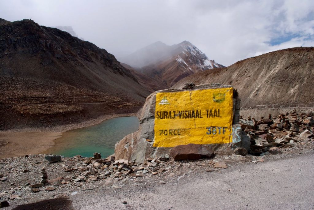
The pass sits on the boundary between the Bhaga River valley (Lahaul side) and the Yunam River valley (Ladakh side). In fact, Baralacha La is the source region for three rivers: the Chandra, the Bhaga, and the Yunam. The Bhaga River originates from Suraj Tal (Sun Lake), a glacial lake a few kilometres below the pass on the Manali side. Stopping there for even ten minutes is worth it. Suraj Tal is usually listed at around 4,950 m, which puts it among the highest lakes in India that you can drive right up to.
Coming from Manali today, you take the Atal Tunnel (instead of crossing Rohtang Pass), then Sissu, Tandi, Keylong at around 3,100 m, Jispa, Darcha, Zingzingbar, and finally the pass itself. Keylong is about 73 km before Baralacha La. From the Leh side, Sarchu is approximately 30 km beyond the pass. If you want the full story of the pass itself, including my own crossings over the years, read my complete Baralacha La travel guide. This post is the season and status companion to that one.
When Did Baralacha La Open in 2026?
Quick answer: BRO reconnected the Manali – Leh Highway, including the Baralacha La stretch, on May 12, 2026 after roughly 42 days of snow clearance. Traffic started under restrictions, with one-way movement between Darcha and Sarchu still in force in early June, and bikers allowed a little after four-wheelers.
For 2026, BRO began snow clearance operations from the Keylong side in March. Snow walls at the pass regularly reach 12 to 15 feet in the post-winter period, and the clearance work is slow and methodical. The Atal Tunnel has helped BRO focus its resources on the higher passes rather than spending weeks clearing Rohtang, and that has pulled the overall Manali – Leh opening date earlier in recent years. The May 12 opening this year is a good example.
As reported by The Tribune, BRO’s Project Deepak (which looks after the Manali to Sarchu stretch) and Project Himank (Sarchu to Leh) met at Sarchu for their customary “golden handshake” once both ends were connected. The Manali to Sarchu stretch alone has 26 avalanche-prone points, and the teams had to pull back and restart work several times because of repeated snowfall. Keep that in mind the next time you feel impatient about the opening date.
An opening date and a comfortable crossing are not the same thing, though. As the June 11 log entry above shows, restrictions linger for weeks after opening, and that pattern repeats almost every year. The first two to three weeks are for patient, well-prepared travellers.
Historically, Baralacha La opens between mid-May and the first week of June, depending on how much snow fell that winter. For your 2027 planning, I suggest you watch the BRO announcements from late April onwards and avoid booking non-refundable stays beyond Keylong until the road is formally declared open.


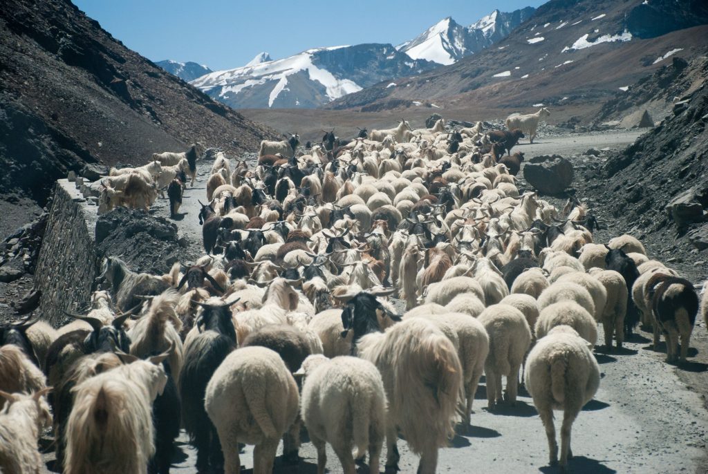
When Does Baralacha La Close for Winter?
Quick answer: For practical travel planning, treat mid-October as the end of the Baralacha La season. The official closure comes later. Last season BRO shut the highway to all vehicles on November 20, 2025, but snow had already blocked the Darcha to Sarchu stretch for short spells in October before that.
There are really two closing dates for this pass, and confusing them is how people get stuck. The first is the official closure, which came on November 20 in 2025. The second is the practical closure, the point after which a crossing depends on luck rather than planning. That usually starts somewhere in mid-October.
Last year is a good illustration. In early October 2025, heavy snow blocked the Manali – Leh Highway, and the Darcha to Sarchu section in particular, for a spell. Keylong recorded a maximum of just 1.3 degrees Celsius during that event. Then on October 22, 2025, snow fell around Baralacha La again, but the highway stayed open that time. The official shutdown came only a month later. Hence, the highway can be “open” on paper while the pass itself closes and reopens several times in between.
What this means for you: if your trip is in the first ten days of October, you have a reasonable chance with flexible dates. If it is after October 15, keep a buffer of two spare days, and have a fallback plan via the Srinagar – Leh route. If it is November, my honest advice is to skip the Manali side entirely and fly into Leh.

Can You Cross Baralacha La in October 2026?
Quick answer: Yes, in early October with stable weather and a well-prepared vehicle. Start after the sun has softened the overnight ice rather than at dawn, carry winter gear, and keep two buffer days. Do not plan to sleep at Sarchu; most camps are closed. Late October is a gamble, not a plan.
The nallah problem goes away, the ice problem arrives. In June, you cross Zingzingbar early because snowmelt swells the water crossings by noon. In October there is very little melt, so the nallahs are small all day. Instead, any water on the road freezes overnight into black ice, especially on north-facing bends below the pass. Hence, in October I would rather leave Jispa around 8 AM than at 6 AM, so the sun has had an hour on the road before you reach the shaded sections.
Nights are seriously cold. At Sarchu (4,290 m), October night temperatures drop well below freezing. Plan your night halts at Jispa or Keylong on the Lahaul side and at Pang or beyond only if you have confirmed a room. My Jispa or Sarchu stopover comparison explains why Jispa is the safer halt for most people even in peak season.
Services thin out. Dhabas along the highway start shutting down after September, and the HRTC Delhi – Leh bus is a summer service that normally runs from about mid-June to mid-September. If you were planning to rely on public transport, check the latest on my Manali to Leh bus service guide and confirm with HRTC directly before you travel.
For a fuller picture of the risks of this late-season window, read my post on the risks of the Manali Leh Highway in October. It is not meant to scare you off, my friend. It is meant to make sure you go with your eyes open.
What Are the Road Conditions Between Darcha and Sarchu?
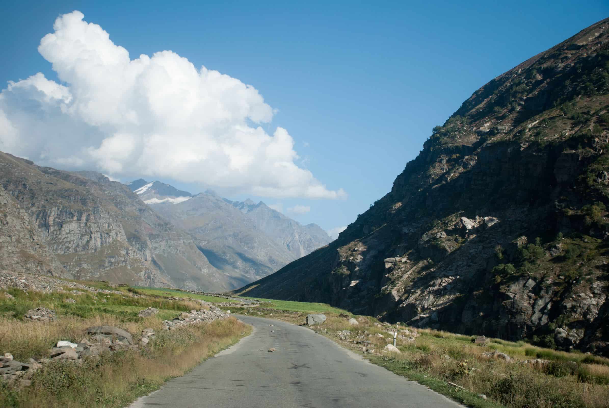
Quick answer: The Darcha to Sarchu stretch is mostly single-lane mountain road with loose patches near the pass, water crossings at Zingzingbar, and steep switchbacks on the Sarchu side. Conditions depend heavily on the month: snow walls and swollen nallahs in June, monsoon debris in July and August, ice in October.
Zingzingbar nallahs: The water crossings at Zingzingbar are fed by snowmelt. In June and July, the water levels are low and manageable before 9 AM. By noon, the sun has melted enough snow that these can turn into knee-deep crossings. Bikers especially need to cross before noon in early summer. By October, the flow drops sharply, but wet patches freeze overnight.
Loose surface near the pass: The road at and immediately below the pass often has loose gravel and small rock debris, especially early in the season as the snowpack recedes and after any rain. Drive slowly, keep your speed well below 30 km/h on the descent, and stay alert for rocks that have tumbled onto the road overnight.
Snow walls: In late May and early June, you drive through snow walls on both sides of the road at the pass level. BRO cuts a channel through the snow rather than waiting for it to melt, so the walls can be taller than your vehicle. Keep moving and do not park in the channel.
Temperature: At 16,040 Ft, temperatures hover between 0 and 10 degrees Celsius even in June, and drop below freezing on October mornings. Wind makes it feel considerably colder. If you step out for photos, bundle up. Do not stay at the summit for more than 10 to 15 minutes if you have not acclimatized, as the effective oxygen is around 55% of sea level.
For the Manali to Keylong section and road conditions below Jispa, refer to my detailed Lahaul Valley Complete Travel Guide, which covers road quality, stops, and current conditions.
Do You Need a Permit to Cross Baralacha La?
Quick answer: You, the traveller, need no permit for Baralacha La. Your vehicle does need a free e-Aagman e-pass to enter Lahaul and Spiti, and non-Himachal vehicles pay a SADA entry fee at Sissu (Rs 200 per car, Rs 50 per bike). Once in Ladakh, Pangong, Nubra, and Tso Moriri need the online EDF of roughly Rs 590.
This is the part most older guides get wrong, so let me separate it cleanly. There are three different things here, and they apply at three different points of the journey.
- e-Aagman vehicle e-pass (free, mandatory): Every vehicle entering Lahaul and Spiti district, including via the Atal Tunnel, needs to be registered on the e-Aagman portal of the Himachal government. It costs nothing and gives you a QR pass to show at the checkpost. Fill it in Manali, 24 to 48 hours ahead, because there is no usable mobile network at the barrier.
- SADA entry fee at Sissu: Vehicles not registered in Himachal pay a Special Area Development Authority fee at the barrier near Sissu, Rs 200 for a car and Rs 50 for a bike, in cash. HP-registered vehicles are exempt. This is a district entry fee. There is no toll on the Atal Tunnel itself, whatever you may have read elsewhere.
- Ladakh Environment and Development Fee (EDF): Indian nationals no longer need a stamped Inner Line Permit for Ladakh. For Pangong Tso, Nubra Valley, Tso Moriri, and similar areas, you pay the EDF online, which works out to roughly Rs 590 for a 7-day trip (Rs 400 environment fee, Rs 20 per day wildlife fee, and a Rs 50 Red Cross contribution). My Ladakh permit guide walks you through it step by step.
You do not need the Rohtang Pass permit if you are taking the Atal Tunnel toward Keylong and Baralacha La. That permit is only for sightseeing at the top of Rohtang. The details are in my Rohtang Pass Permit Guide 2026. Foreign nationals should keep their passports handy at the Darcha and Sarchu checkposts and check Protected Area Permit requirements for border areas in Ladakh.
How to Cross Baralacha La Safely: Tips from Experience
Quick answer: Sleep at Jispa or Keylong the night before, fuel up fully at Tandi, aim to be over the pass by 11 AM, spend no more than 15 minutes at the top, and confirm any traffic restrictions at Darcha before you drive on. Those five habits prevent most of the problems I hear about.
Acclimatize at Jispa or Keylong first. If you are coming from Manali, do not try to push through Baralacha La on the same day. Manali sits at around 2,050 m. Baralacha La is at 4,890 m. That is a gain of nearly 2,840 m in one day. The recommended approach is to halt at Keylong (around 3,100 m) or Jispa (around 3,200 m) for a night before crossing the pass. I have covered both options in detail in my Jispa Village guide. Jispa specifically is an excellent acclimatization stop and one of my personal favourites on the Manali – Leh Highway. Headache, nausea, and dizziness at the pass are very real outcomes for travellers who skip this step.
Fuel up completely at Tandi. The Tandi petrol pump, about 8 to 10 km before Keylong (roughly 60 to 65 km from Manali via the Atal Tunnel), has a famous sign: “Next filling station 365 km away.” Take it seriously. After Tandi, there is no petrol pump on the highway until you reach the Leh side. Fill up completely. For bikers, carry a spare fuel can. For SUVs and cars, a full tank should be sufficient if your vehicle is reasonably fuel-efficient, but carrying 5 extra litres as a buffer is sensible.
Do not linger at the summit. The views at Baralacha La are spectacular, yes. But 16,040 Ft is not the place to have a long picnic. Take your photos and get moving. Thirty minutes-plus at this altitude without proper acclimatization is asking for trouble.
How Serious Is Altitude Sickness at Baralacha La?
Quick answer: Serious enough to plan around. Baralacha La is at 16,040 Ft with roughly 55% of sea-level oxygen. Via the Atal Tunnel, you can climb from Keylong to the pass, a gain of almost 1,800 m, in a single morning. Spend a night at Keylong or Jispa first and descend if symptoms appear.
![How to tackle water-crossings on Ladakh Bike Trip / Spiti Valley Bike Trip? [20 Important Tips]](https://discoverwithdheeraj.com/yt_vid_thumbs/ladakh/82.png)
Let me be direct about this, because I have seen it go wrong. Acute Mountain Sickness (AMS) is a genuine risk here for people who gain altitude too quickly or ignore their body’s signals. Skipping Rohtang via the Atal Tunnel makes the climb faster, not easier.
Common early symptoms are headache (especially at the back of the head), nausea, loss of appetite, and feeling unusually tired. These are warning signs. The right response is to descend, not push forward. I always tell readers: Sarchu at 4,290 m is already a challenging night stop. If you are feeling unwell at Baralacha La, going down to Darcha (3,360 m) or Jispa is the correct move. Do not try to push through to Leh if you are symptomatic. We learnt this the hard way ourselves, and I have written that story up in our real experience of AMS at Sarchu.
For month-by-month weather and acclimatization planning on the Lahaul side, read my Best Time to Visit Lahaul Valley post.
Where Is Deepak Tal, the Lake Before Baralacha La?
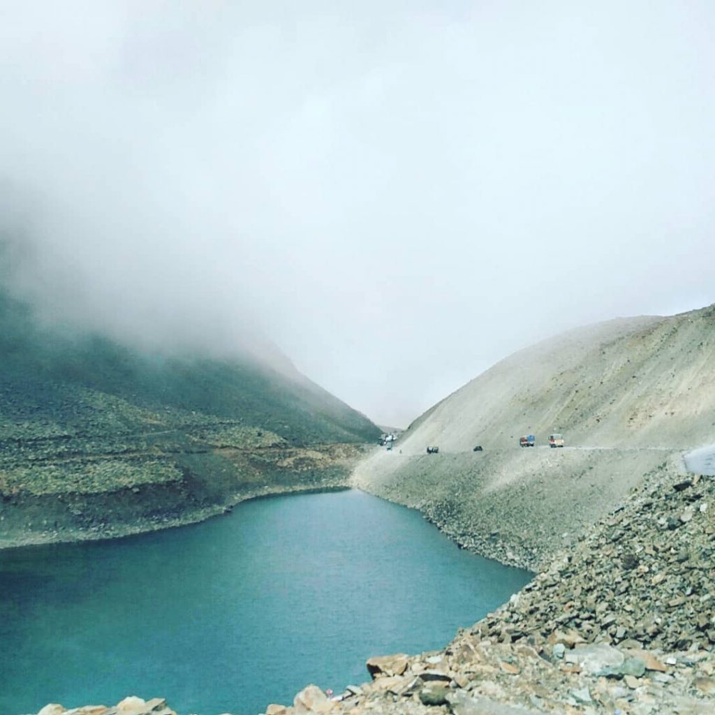
Quick answer: Deepak Tal is a small roadside lake at around 3,700 m on the highway just beyond Darcha, roughly 20 km from Jispa, on the way up toward Zingzingbar. No trek, no entry fee. A 10 to 15 minute stop here is a gentle break before the final climb to the pass.
Most travellers zoom past Deepak Tal without knowing it is there. The lake is a small, calm body of water that reflects the mountains above it in conditions you rarely get to see. You simply pull over and walk to the edge.
I suggest stopping here for 10 to 15 minutes on your way to the pass. The lake is at a manageable altitude, gives your body a moment before the final climb, and is genuinely beautiful. Best months are June and September. In July and August, the monsoon can cloud over and the light is less dramatic. In October, the edges may already be iced over in the morning.
Which Day Do You Cross Baralacha La on a Manali – Leh Itinerary?
Quick answer: On a sensible itinerary, Day 2. Day 1 is Manali to Jispa via the Atal Tunnel (about 95 km), Day 2 is Jispa to Sarchu or beyond over Baralacha La, and Day 3 takes you over Nakee La, Lachulung La, and Tanglang La into Leh.
Day 1: Manali to Jispa or Keylong (around 71 km to Keylong and about 95 km to Jispa via the Atal Tunnel, 3 to 5 hours with stops and checkposts). Keep your e-Aagman QR pass and cash for the SADA fee ready for the Sissu barrier. Fuel up at Tandi on the way.
Day 2: Jispa to Sarchu via Baralacha La (roughly 80 to 90 km, 5 to 7 hours depending on traffic and nallah conditions). This is the big day. In summer, leave by 7 AM. Fill up on water before Darcha. Check the traffic schedule. Cross the pass well before noon. In October, consider pushing on to Pang only if you have a confirmed room, since Sarchu camps will mostly be closed.
Day 3: Sarchu to Leh via Nakee La, Lachulung La, and Tanglang La. After crossing Baralacha La, the next major passes are Nakee La (4,739 m), Lachulung La (around 5,059 m), and Tanglang La (5,328 m), the highest point on the route. Each deserves respect. I have written about the first two in my post on crossing Nakee La and Lachulung La.
For a complete 5-day itinerary of the Lahaul region specifically, including accommodation options at each stop, refer to my Lahaul Valley 5-Day Itinerary. If you are planning the full road trip to Leh, my guide to planning a Manali – Leh Highway trip covers the whole route day by day.
What Is the Alternate Route If Baralacha La Is Blocked?
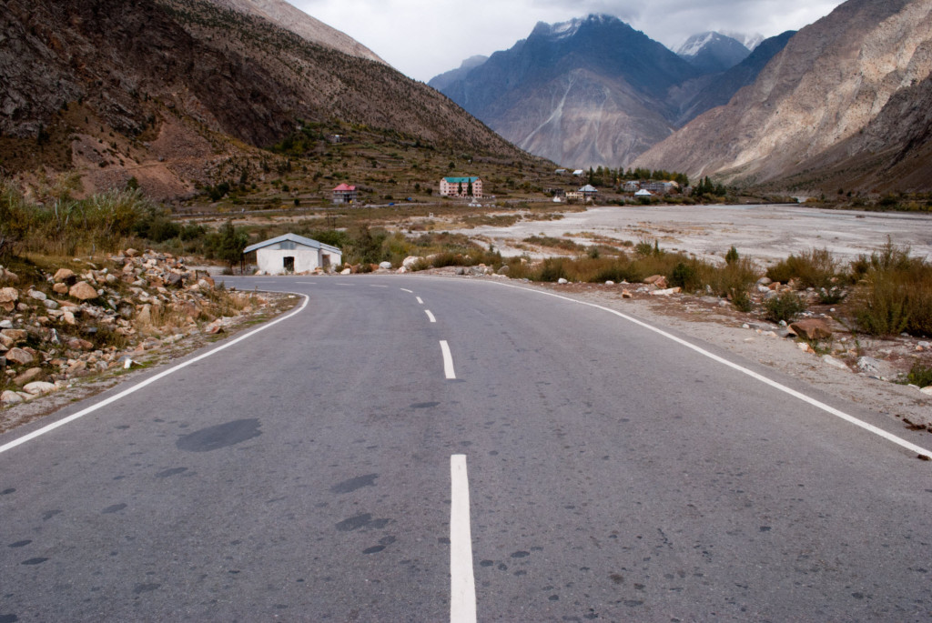
Quick answer: For a short blockage, wait it out in Jispa or Darcha, since BRO usually clears fresh snow within 12 to 48 hours. For a longer closure, the realistic alternative is the Srinagar – Leh route via Zoji La. The Darcha – Shinku La – Padum road is not a fix, because it climbs just as high and gets the same snow.
Baralacha La can close unexpectedly even mid-season due to heavy snowfall or a severe nallah breach, and in October the odds go up. If you are already committed to the Manali – Leh route and the pass closes, here is what you need to know.
The Darcha – Shinku La – Padum road through Zanskar is now a real motorable route to Leh in summer, and I have covered it in my Manali to Leh via Zanskar guide. But keep in mind, Shinku La is itself well above 16,000 Ft, gets snow at the same time as Baralacha La, and the route is far longer and more remote. It is not a bad-weather bypass.
The Srinagar – Leh Highway via Zoji La is the genuine alternative if you want to approach Leh from the other side entirely. That route has its own beauty and logistics, and a gentler altitude profile. I have compared the two in Srinagar Leh Road vs Manali Leh Road. For official advisories, the Border Roads Organisation (BRO) publishes updates through its official channels when conditions change.
Baralacha La Crossing Checklist: What Should You Carry?
Quick answer: A full tank from Tandi, your e-Aagman QR pass and cash for SADA, warm layers including gloves, water and snacks for the whole day, basic altitude medicine after consulting your doctor, and the knowledge that your phone will not work between Darcha and Sarchu.
- Fuel: Full tank at Tandi, about 8 to 10 km before Keylong. No petrol pump on the highway after this until the Leh side.
- Vehicle papers: e-Aagman QR pass (free, register 24 to 48 hours ahead), RC, insurance, PUC, and Rs 200 cash per car or Rs 50 per bike for the SADA fee at Sissu if your vehicle is not HP-registered.
- Traffic schedule: Confirm whether any one-way timing or snowfall halt is in force at Darcha. Verify locally the evening before, as this can change overnight.
- Start time: In summer, leave Jispa or Darcha by 7 AM and aim to cross the pass by 10 AM to 11 AM. In October, around 8 AM, once the sun is on the road.
- Warm layers: At 16,040 Ft, temperatures can be close to freezing even in July and well below it in October. Always carry a jacket, gloves, and a windproof layer.
- Water and snacks: There are no shops at the pass, and the dhabas thin out after September. Carry enough for the full Jispa to Sarchu stretch.
- First aid and altitude medicine: Carry Diamox if advised by your doctor, along with basic pain relief and anti-nausea medication. Discuss with your physician before the trip.
- Mobile network: Coverage drops off significantly beyond Jispa. BSNL has some coverage in patches. Do not count on connectivity between Darcha and Sarchu, and download offline maps before you leave.
- Emergency contacts: Keylong police (01900-222205). Your guesthouse in Jispa will also know the current road condition, often before any website does.
Frequently Asked Questions: Baralacha La Road Status 2026
Is Baralacha La open now?
As of October 2, 2026, Baralacha La is open and no BRO closure order has been announced for the season. It ran with two-way traffic through September. October is the closing window, though, and fresh snow can shut the Darcha to Sarchu stretch at short notice, so verify on the morning of your crossing.
When does Baralacha La close in 2026?
There is no announced date yet. Last season, BRO officially closed the highway to all vehicles on November 20, 2025, but snow blocked the pass for short spells from early October. For planning, treat mid-October as the practical end of the season and keep buffer days for anything later.
When did Baralacha La open in 2026?
BRO reconnected the Manali – Leh Highway on May 12, 2026 after roughly 42 days of snow clearance that began from the Keylong side in March. In early June, traffic was still one-way between Darcha and Sarchu, and bikers were cleared a little after four-wheelers. Typically the pass opens between mid-May and early June.
What is the altitude of Baralacha La?
Baralacha La is at 4,890 m (16,040 Ft) above sea level. It is one of the major passes on the Manali – Leh Highway, sitting between the Lahaul valley and the road to Sarchu.
Is there a petrol pump near Baralacha La?
No. The last petrol pump before the pass, coming from Manali, is at Tandi, about 8 to 10 km before Keylong and roughly 60 to 65 km from Manali via the Atal Tunnel. The famous sign there says the next filling station is 365 km away. Fill up completely, and bikers should carry a spare can.
Do I need a permit to cross Baralacha La?
No personal permit is needed for the pass itself. Your vehicle needs a free e-Aagman e-pass to enter Lahaul and Spiti, and non-HP vehicles pay a SADA fee at Sissu (Rs 200 per car, Rs 50 per bike). In Ladakh, areas like Pangong, Nubra, and Tso Moriri need the online EDF, roughly Rs 590 for a 7-day trip. There is no Atal Tunnel toll.
How long does the Baralacha La crossing take from Jispa to Sarchu?
Jispa to Sarchu via Baralacha La is roughly 80 to 90 km and typically takes 5 to 7 hours depending on road conditions, nallah crossings, and any traffic restrictions at Darcha. In summer, start by 7 AM. In October, around 8 AM.

Conclusion
Baralacha La is one of those crossings that stays with you. The climb from Darcha through Zingzingbar, the sudden appearance of Suraj Tal in the high valley, and then the summit at 16,040 Ft with nothing but Himalayan sky in every direction. If you plan well, respect the altitude, and watch the weather, it is a safe and deeply worthwhile crossing.
For what is left of 2026, the pass is still open, but the clock is ticking. Go early in October if you are going at all, keep your dates flexible, fuel up at Tandi, sleep at Jispa, and let the mountain gods have the final say. They always do 🙂
In case you cross in the coming days, please drop a note in the comments with the date and what you saw at Zingzingbar and the top. Those ground reports from readers are often the most current information anyone has this late in the season. You can also share them with fellow travellers in our DwD Travel Circle, and feel free to ask me anything about road conditions or timing there too 🙂 …
Related Reading
- Baralacha La on Manali Leh Highway: Complete Travel Guide
- Manali Leh Highway Status 2026: Latest BRO Updates
- Manali Leh Highway in October: Risks to Know Before You Go
- Jispa or Sarchu: Which Stopover Is Better for First-Timers?
- Lahaul Valley Complete Travel Guide 2026
Last Updated: October 2, 2026
